We were going to leave, but decided that since we were so close to the Gila Wilderness, maybe we should stick around and do a couple of hikes.
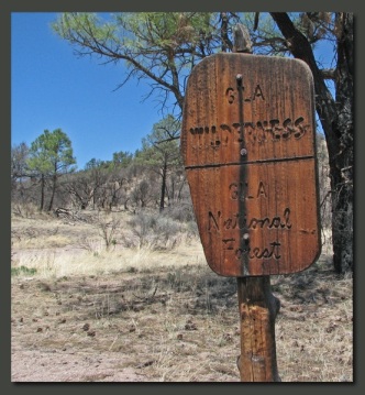
The Gila Cliff Dwellings National Monument is 533 acres, very small for a National Park or Monument. The Gila National Forest, which surrounds the National Monument, it 3.3 million acres, managed by the National Forest Service. Within that 3.3 million acres are 550 thousand acres designated as the Gila Wilderness.Wilderness is governed by a very strict set of rules. The Wilderness areas are just that, wilderness. There are no amenities or campgrounds, no ready rescue, no improvements such as river or stream bridges, there are wolves, coyotes, rattlesnakes, mountain lions and bears…And it is their backyard. There are trails, but hikers are responsible for their own safety. We don’t take that kind of thing lightly, rather we consider where we want to go, whether we are properly equipped, and do we have the necessary skills for the endeavor. When the answer is yes, we do it. We have decided to hang around this area for a couple more days and hike the wilderness.
Day 1 – Gila Wilderness Hiking. #4 Trail
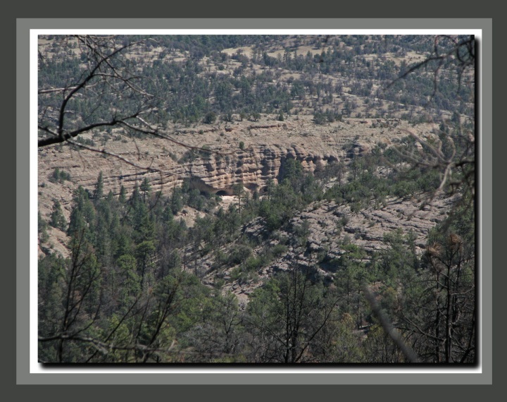
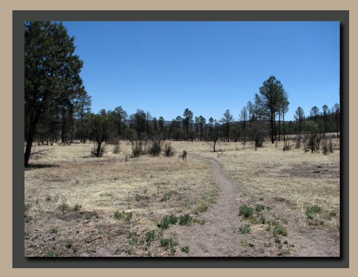
Our first hike is to the south of the monument, up onto a ridge along the western edge, where we hoped to get a view of the ruins, then back east through EE Canyon to the Gila River which would lead us back to the monument. As with so much of New Mexico that we have visited this year there have been recent fires and the scars are still evident. Once on the western ridge we caught a view of the ruins far below in the canyon.
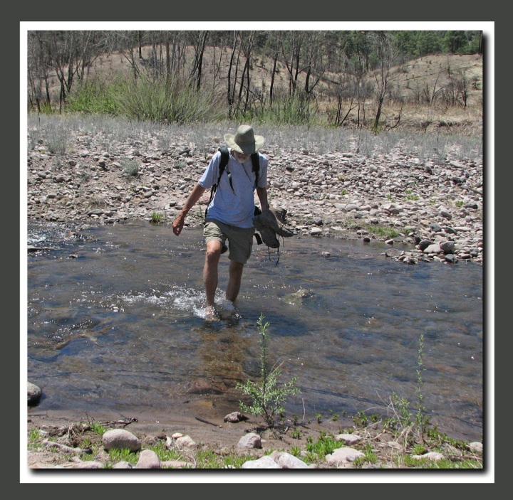
Hiking along the ridge we got to see just how beautiful this area was before the fires. These are Ponderosa Pines on the canyon rim above the dwellings. EE Canyon led us back down to the river which we had to cross 3 times to get back to the monument.
The Gila River is about 40 to 60 feet wide and 1 to 2 feet deep here and, while the current is swift, it is still easy to make a safe crossing. We headed back to the campground for the night and planned a second hike along the West Fork of the Gila River. The West Fork flows though a steep canyon and there are rumored to be some cliff dwellings in the canyon.
Day 2 – Gila Wilderness Hiking. West Fork Trail.
We spoke to a couple of hikers yesterday and they told us that trail #151, that follows along the West Fork of the Gila is a very pretty hike. The trail is 15 miles long, but we only intended, after yesterday’s 8 mile hike, to do about 6 miles total out and back.
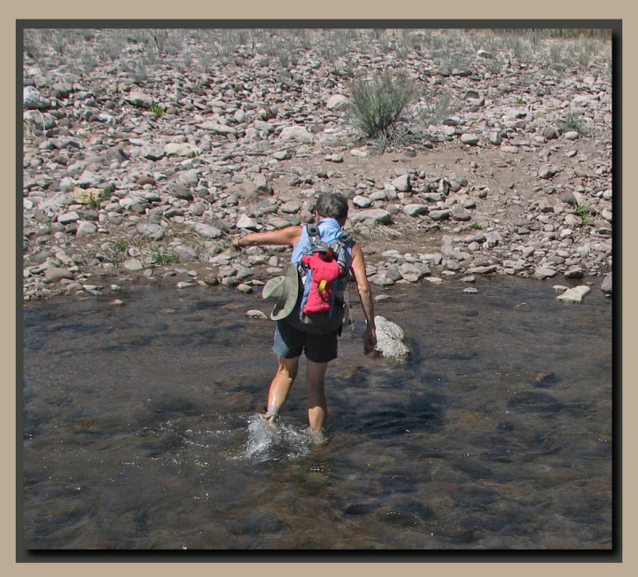
There looked to be many more river crossings today so we put on old sneakers and just went wet.
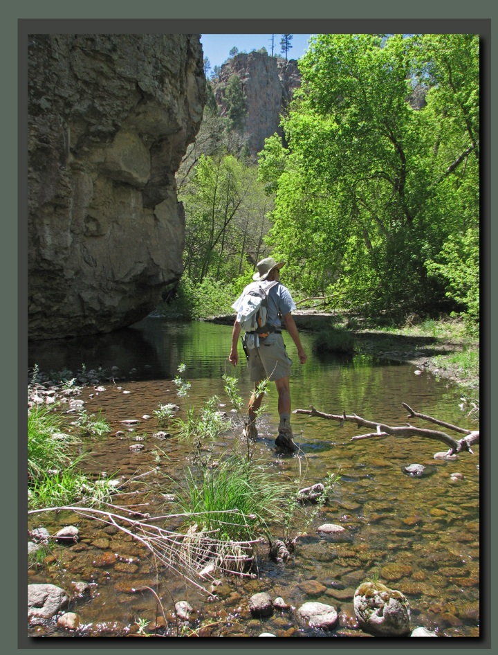
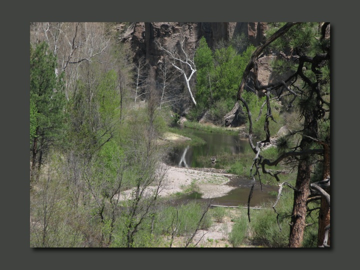
Not only were there more river crossing, but at times it was just easier to hike right up the river. The water was around 65℉ so it was not at all uncomfortable to be in the river. After the first few hundred yards hiking in wet sneakers you just barely notice it anymore.
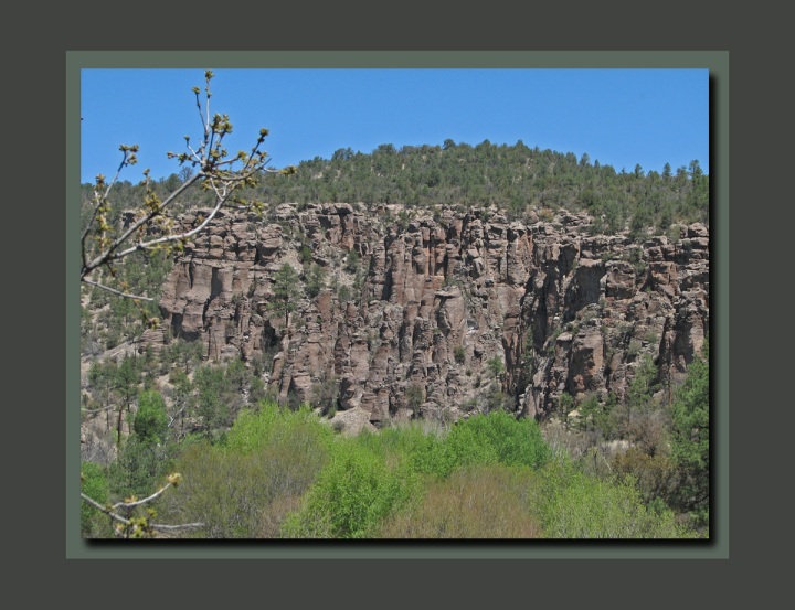
The canyon was lovely, with a diverse flora, including many large Cottonwood trees, Sycamores, and Willows in the riparian areas, and Juniper, Ponderosa Pines and even some Douglas Fir higher up on the canyon walls.
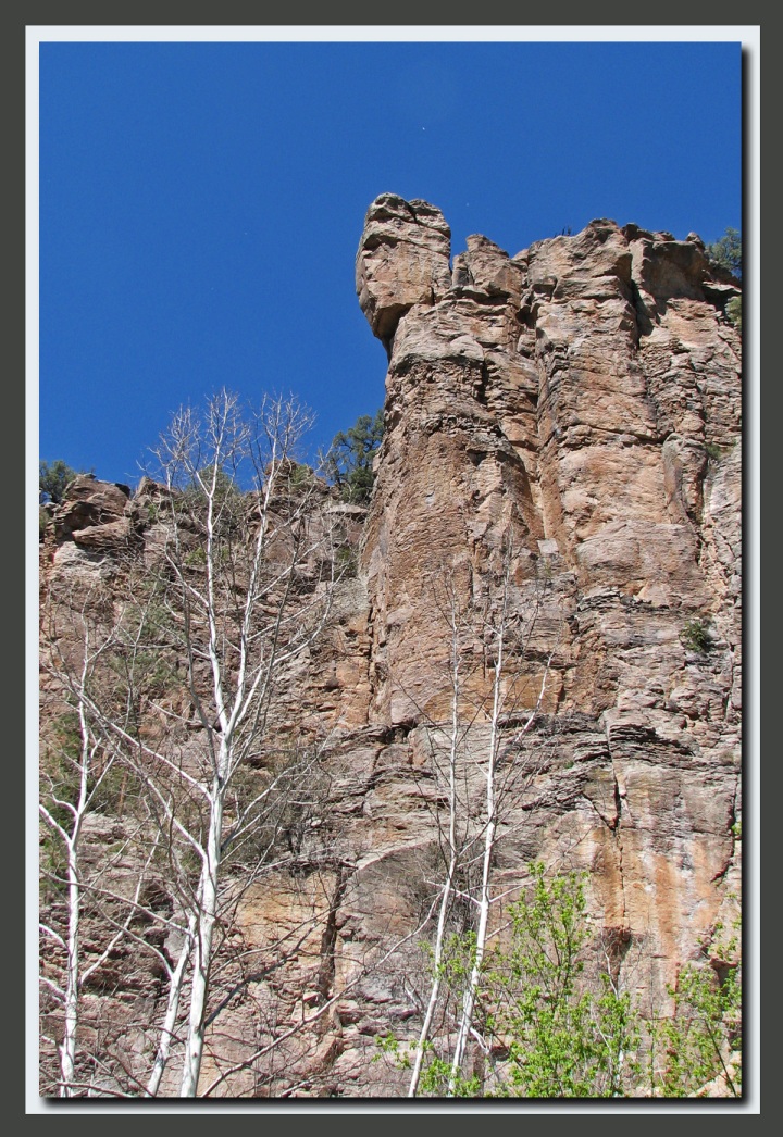
The canyon walls are volcanic in nature and vary in color from rich brown to gray to black.
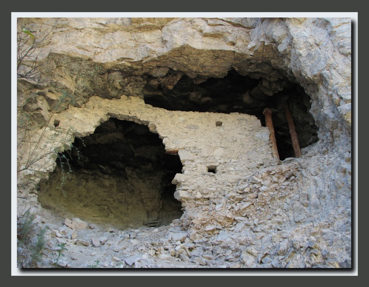
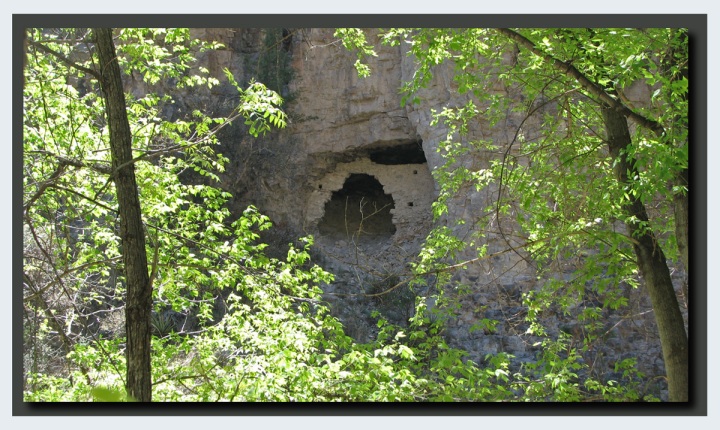
About the time we were ready to turn around and head back we found a ruin high up on the south facing canyon wall. The ruin, probably one or two rooms, has been heavily damaged by vandals, most likely pot hunters around the end of the 19th century when many of these ruins were first discovered.
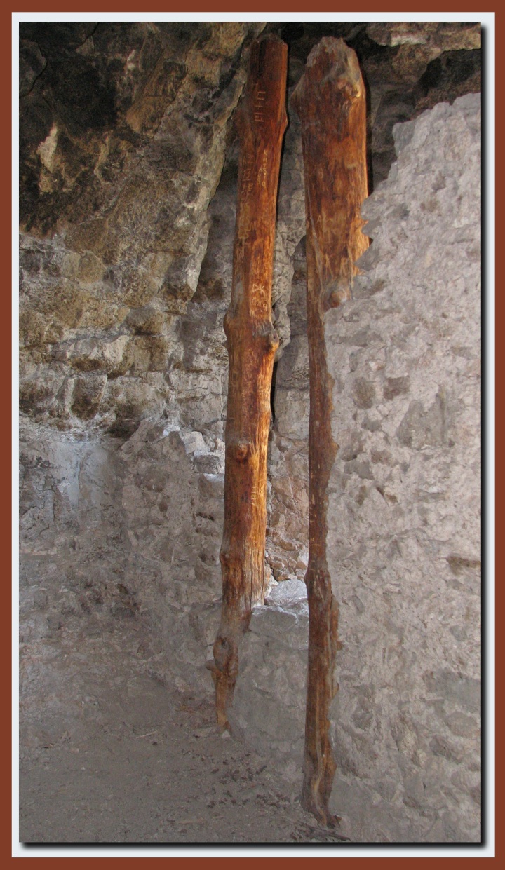
Find the two small windows on the right side, then look above and to the left of the lower window and you will see a small piece of wood. That is part of the wooden lintel that was over a small entrance door. For whatever reason early pot hunters were not satisfied with the small entrance doors and would just break it open. The result of this is that the weakened walls eventually collapse as this one is in the process of doing. It’s a shame really as these are historical structures and they have been destroyed for a few quick dollars. This particular dwelling contains vertical beams, something rarely seen in cliff dwellings.
We are fortunate that many of these ruins, found throughout New Mexico, Arizona, Utah, and Colorado have been protected
Day three promises to be a long one with an 11 mile hike through Little Bear Canyon.
If you have a fishing rod with you, try those rivers and streams. There are Apache trout in those waters and I’d guess they’d make pretty good eating over a campfire (in or out of one of those caves…).
Loved View Upriver so green. How do you keep your feet dry? Nice ruins. Yeah, too bad about them getting ruined. That is so cool that you hiked right up & inside of them!!!! Pauly said he wants to be like you when he grows up……